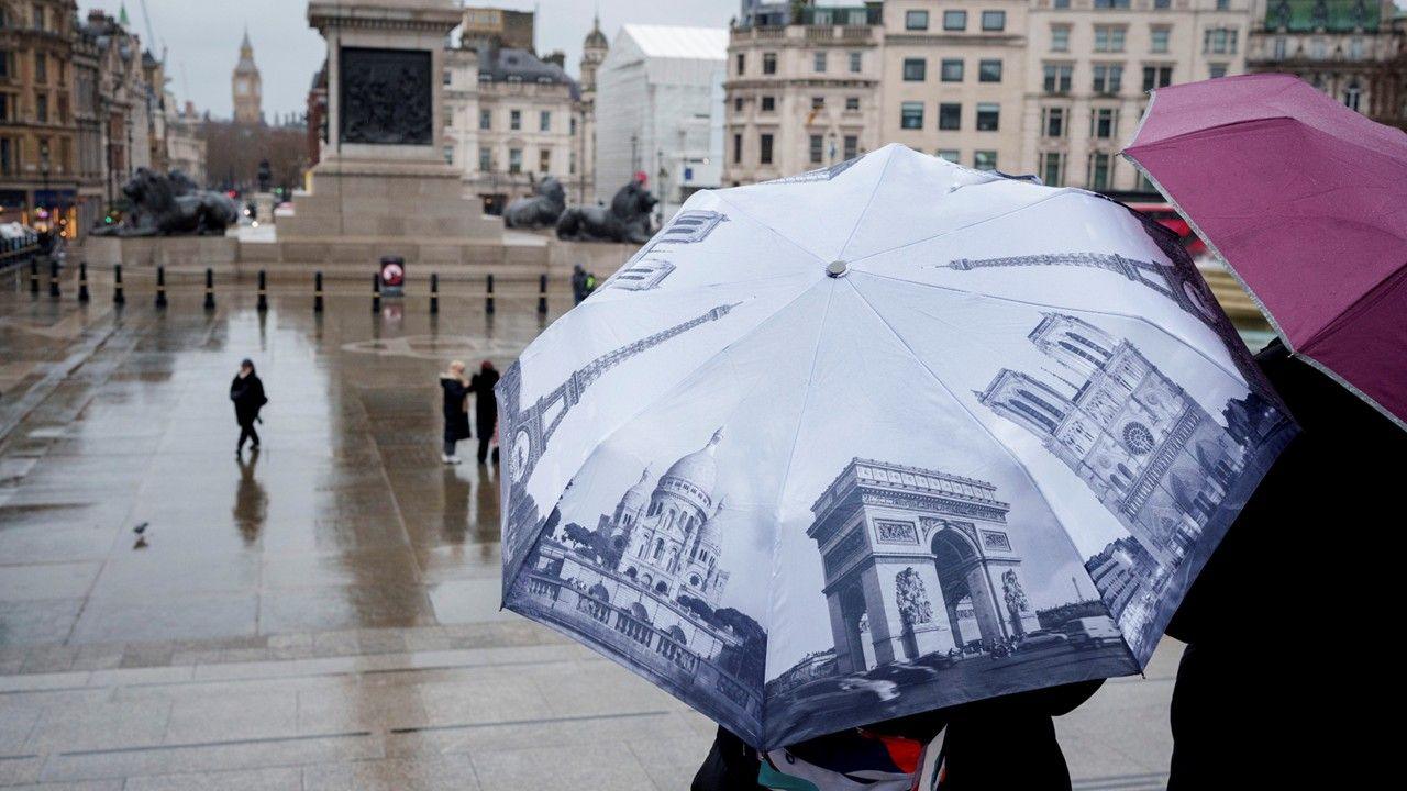
In a year marked by unprecedented downpours, the UK is finally on the cusp of a weather turnaround. After weeks of soggy conditions that have tested the resilience of homes, roads, and moods alike, meteorologists are forecasting a brief but welcome respite from the rain. As high pressure nudges in, colder air could usher in snowy scenes across parts of the nation, particularly in the north and higher elevations. This shift isn't just a tease—it's a signal of how dynamic British weather can be, even in the depths of winter.
From Relentless Rain to a Chilly Respite
The UK's weather in 2026 has been nothing short of drenching. From the sodden streets of southern England to the flooded fields of Northern Ireland, precipitation has dominated the narrative. BBC Weather's lead presenter Ben Rich notes that computer models have long hinted at a pattern change, but they've often faltered under the weight of persistent wet fronts. Now, with stronger signals emerging, the forecast points to drier and brighter conditions starting late this week.
Through midweek, expect continued spells of rain as Atlantic systems linger. However, by Thursday, high pressure is set to build, squeezing out the moisture and introducing clearer skies. This isn't a full-season flip—think of it as a temporary breather. Temperatures will dip, and with them comes the potential for wintry precipitation. "Sunshine and snow are both possible if colder air arrives," warns the forecast, evoking images of crisp, white landscapes after the gloom.
The Blocked Pattern Unraveling
For weeks, a stubborn high-pressure block to the east has funneled rain-bearing fronts across the UK, creating a south-easterly conveyor of misery. This setup has kept cloud cover thick and sunshine scarce. To break free, the atmosphere needs a reconfiguration, and early signs suggest it's underway. As the block weakens, westerly influences may briefly dominate before returning to their rainy ways.
Snow Forecast: Where and When to Expect Flurries
Snow enthusiasts, take note—this week's chill could deliver the goods in select areas. The prime spots for snowfall include northern and eastern Scotland, where upland areas might see accumulations. The Pennines and Peak District in England, along with the hilly regions of Wales, are also in line for wintry showers. Elevations above 300 meters could wake up to a light dusting, transforming familiar trails into slippery adventures.
Lower levels aren't entirely safe from the cold's reach. As rain clears and meets incoming frigid air, sleet or even snow could flirt with valleys and coastal zones temporarily. Cities like Edinburgh or Manchester might glimpse flurries, though significant buildup is unlikely below hill level. The Met Office emphasizes monitoring updates, as exact timings hinge on the speed of the cold front's advance—potentially Friday into the weekend.
Why snow now? The convergence of clearing rain and plummeting temperatures creates ideal conditions for frozen precipitation. Historical parallels abound; remember the 2018 Beast from the East? While not that severe, this setup echoes milder versions of disruptive wintry weather.
Risks and Preparations
Travelers should prepare for potential disruptions. Icy roads in Scotland's glens or the Welsh uplands could lead to delays, and gritters will be on high alert. Rural communities, already battered by floods, face a new challenge: frozen ground exacerbating any residual water issues. Dress in layers, check local forecasts via the BBC Weather app, and keep an eye on flood warnings that might persist in low-lying areas.
How Soaked Has 2026 Been So Far?
To appreciate the upcoming dry spell, consider the deluge behind it. Rain gauges in Devon’s North Wyke and Worcestershire’s Astwood Bank have logged precipitation daily this year—no dry days in sight for some. Northern Ireland etched history with its wettest January in 149 years, while County Down and Cornwall shattered records too.
February has offered no mercy. Provisional Met Office data reveals some regions received a full month's worth of rain in just the first five days. Aberdeenshire stands out as a watery hotspot; Aboyne has tallied 376mm since January—nearly half its annual 800mm average—in under six weeks. Cloud has been an uninvited guest, with Aberdeen enduring 18 sunless days from late January, a provisional record.
Not everywhere drowned equally. North-west England and western Scotland bucked the trend, staying drier than normal. Aultbea in the Highlands went 20 days without a drop, a stark contrast to the national soak. Flooding has ravaged southern and south-western England, causing travel chaos and agricultural woes. This uneven distribution underscores the UK's varied microclimates.
Climate Context and Changing Winters
Is this the new normal? UK winters are evolving, with wetter spells linked to shifting jet streams and warmer seas. Videos from BBC explain how air pressure dictates these patterns—highs block, lows drench. As climate change amplifies extremes, expect more such swings: from flood to freeze in quick succession.
Looking Ahead: Back to the Atlantic?
Don't pack away the umbrellas just yet. Long-range outlooks suggest milder Atlantic winds will reclaim the scene by mid-month, bringing wind, rain, and perhaps another round of gray skies. The third week of February could mirror January's woes, with fronts marching in from the west.
For now, savor the snow-dusted reprieve. Whether it's a snowy hike in the Peaks or a frosty dawn in the Highlands, this forecast offers a glimmer of variety in our unpredictable isles. Check BBC Weather for hourly updates and monthly insights to stay ahead of the squalls.
In summary, the UK snow forecast brings hope amid the wet winter. As rain retreats, colder air paints a wintry picture—temporary, but transformative. Stay informed, stay safe, and perhaps embrace the chill.

